Today's weather: Yellow Level 1 warning as scattered thunderstorms sweep across central SA
Damaging winds and flash floods expected across Central regions as Level 1 warning issued.
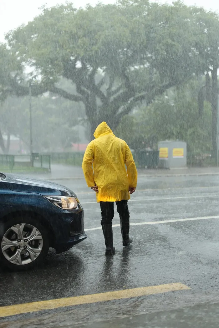
Image: Pexels
The South African Weather Service has issued a Yellow Level 1 warning for severe thunderstorms over parts of the Northern Cape for Tuesday, as unstable conditions are expected to trigger scattered to widespread showers and thundershowers across the central interior.
The warning covers areas between Upington, Prieska and De Aar, where strong, damaging winds, heavy downpours, hail and excessive lightning are possible.
Localised flooding of low-lying roads, bridges and informal settlements cannot be ruled out, especially where storms persist.
Rainfall chances will be highest over the central interior, with a 60% showers and thundershowers stretching from the western Northern Cape through parts of the Free State and into the Eastern Cape interior.
A broader band of 30% isolated showers is expected over the North West province, southern Northern Cape, Karoo regions and along parts of the east coast, including sections of KwaZulu-Natal.
The Western Cape will see isolated afternoon showers over the interior, while the south-western coastal areas are likely to remain mostly dry to hot.
Over Limpopo and Mpumalanga, conditions are expected to be largely fine with minimal rainfall expected.
Residents in affected areas are advised to remain alert for rapidly changing weather conditions on Tuesday afternoon and evening, particularly those travelling on rural roads or living in flood-prone areas.
IOL News