Severe thunderstorms wreak havoc in Gauteng and other provinces
The public is strongly urged to take weather warnings seriously, as they play a critical role in reducing the risk of injury, loss of life, or property damage.
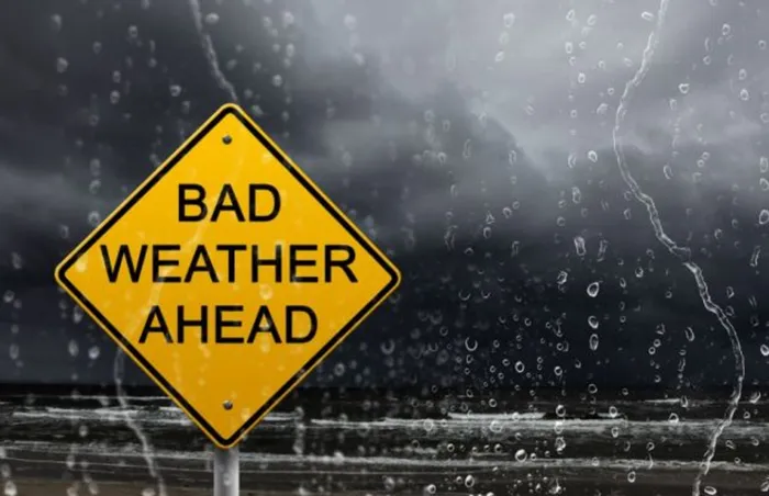
Image: File
On Sunday, November 30, 2025, a Severe Thunderstorm Warning was upgraded (from Level 2 to Level 4) for Gauteng, Limpopo, and Mpumalanga in the middle of the afternoon. Later that afternoon and in the evening, notable weather effects were noted throughout the affected areas.
The previous warning mentioned the possibility of large hail, heavy rain, and strong winds. All of the aforementioned impacts occurred as severe thunderstorms intensified over northern Gauteng (Pretoria) and adjacent Limpopo districts (Marble Hall).
Confirmed Impacts
Reports received from social media posts and weather observers confirm that the following occurred:
- Heavy rainfall that led to rapid flooding in low-lying and poorly drained areas.
- Damaging winds causing localised structural damage and the falling of trees.
- Large hail, particularly over the East Rand (Brakpan, Benoni, Springs, Kempton Park, Thembisa, and Boksburg) and Pretoria North (Daspoort, Wonderboom, and Sinoville) resulting in vehicle, roof and property damage.
- Disruptions to traffic due to fallen trees, pooling of water, and reduced visibility.
These impacts align directly with what is typically associated with severe thunderstorms characterised by strong convective updrafts and intense storm-cell organisation.
Link to Severe Thunderstorm Conditions
The severe weather developed within an environment of:
- High moisture availability over the eastern interior;
- Strong surface heating;
- Adequate wind shear; and
- A surface trough aligned with enhanced instability.
These conditions supported the formation of deep convective storms capable of producing significant hail, damaging winds and heavy rainfall, validating the severity level (of the impact based early warnings) communicated in the warning graphic.
Advisory
The public is strongly urged to take weather warnings seriously, as they play a critical role in reducing the risk of injury, loss of life or property damage. Yesterday’s impacts clearly demonstrate how quickly weather conditions can deteriorate once thunderstorms intensify.
Residents are encouraged to:
- Monitor updates from official sources;
- Seek shelter when thunderstorms approach.
- Move vehicles under cover where possible;
- Avoid driving through flooded roads; and
- Report fallen trees, flooding, or damage to municipal authorities.
Outlook for the Eastern Regions of South Africa
Current climate trends and seasonal forecasts indicate a possible future increase in the frequency and intensity of extreme weather events across the eastern parts of South Africa, including Gauteng, Limpopo, and Mpumalanga. This includes heavy rainfall and more frequent severe thunderstorms.
The South African Weather Service will continue to monitor any further developments relating to the weather systems and will issue subsequent updates as required. Furthermore, intermediate updates may be followed on X (@SAWeatherServic), Facebook (South African Weather Service) or other SAWS-supported social media platforms.