Severe storms are coming: Here's what South Africans need to know today
Rainfall projections for Tuesday show widespread storm activity across the east and northeast of South Africa, with western regions remaining dry.
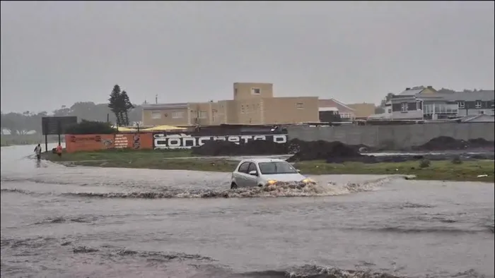
Image: Armand Hough
South Africa braces for an active and potentially disruptive Tuesday as the South African Weather Service warns of severe thunderstorms across central and northeastern provinces.
A powerful band of unstable weather is expected to develop from late morning into the afternoon, bringing heavy downpours, strong winds and pockets of hail.
The highest concern lies over parts of Limpopo, Mpumalanga, Gauteng and the eastern Free State, where a Yellow Level 4 warning has been issued.
This zone carries the risk of sudden, intense rainfall that may trigger localised flooding, especially along low-lying roads and vulnerable bridges. Lightning activity is expected to be frequent, and small hail could accompany some of the stronger cells.
Surrounding this core zone, a broader stretch covering areas from northern Free State through parts of Northwest and Mpumalanga falls under a Yellow Level 2 alert, signalling a lower but still meaningful chance of disruptive storms.
Motorists travelling between towns such as Klerksdorp, Welkom, Thabazimbi, Ermelo and Newcastle are urged to stay alert as rapidly changing weather may affect visibility and road conditions.
Rain chances reflect the broad reach of the system. Widespread rainfall of up to 80% is forecast across much of Limpopo, Mpumalanga and the eastern Free State, with thunderstorms likely to become more frequent into the afternoon.
Scattered storms around 60% are expected near Bethlehem, Thabazimbi and adjacent areas, while isolated activity around 30% may extend toward Johannesburg, Pretoria, Richards Bay and parts of northern KwaZulu-Natal.
Western regions of the country, including the Northern Cape and Western Cape, will remain dry under clear and stable conditions.
Tuesday’s weather will demand caution for those in the affected provinces. Communities are encouraged to avoid crossing flooded low-water bridges, secure outdoor items that could blow away, and monitor updates from emergency and weather authorities as the storm line develops.
IOL News