Weekend weather: Thunderstorms and cooler conditions expected in central SA
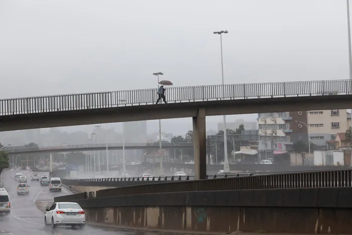
A person walks on a pedestrian bridge carrying an umbrella above a busy highway Severe thunderstorms forecasted to impact central South Africa this weekend.
Image: Doctor Ngcobo Independent Newspapers
South Africa is bracing for a dynamic weather weekend, with severe thunderstorms forecasted to impact parts of the Northern Cape, North West, and Free State on Saturday.
The South African Weather Service has issued a Yellow Level 1 warning for severe thunderstorms, highlighting the potential for strong, damaging winds, small hail, and localised flooding of low-lying roads and bridges, particularly around Upington, Vryburg, and surrounding areas.
These stormy conditions coincide with a 60% chance of scattered rainfall across the central interior, stretching from the Northern Cape through the Free State and into the Eastern Cape.
Isolated showers, with a 30% chance, are also likely in parts of Gauteng, Mpumalanga, KwaZulu-Natal, and southern coastal regions. However, no rainfall is expected across parts of Limpopo and the southern Western Cape, including Cape Town.
As the cold front pushes eastward, Sunday, October 12, will bring a shift in conditions. While thunderstorms will persist in the eastern half of the country, the intensity is expected to decrease.
Scattered 60% chance of rain will linger over the Eastern Cape, Lesotho border areas, and parts of KwaZulu-Natal. Meanwhile, isolated 30% rain could still affect the central Free State and eastern parts of Gauteng.
Temperatures are set to drop, especially in the central and southern interior, with cooler winds sweeping in from the west. Coastal areas in the Western Cape and Eastern Cape will experience gusty winds, with speeds up to 40 km/h, particularly near Cape Agulhas and Port Elizabeth.
Warm conditions will remain in the north and northeast, with parts of Limpopo and Mpumalanga still experiencing hot daytime temperatures, but cooling trends are expected to follow early next week.
Motorists and residents in the storm-affected zones are urged to remain alert, especially on Saturday afternoon and evening, as storm cells could intensify rapidly. Stay updated with official alerts and avoid crossing flooded roads.
IOL News