Weather alert: Level 2 warning issued for parts of the Northern Cape
The public is urged to take precautions, avoid low-lying roads, and remain alert for updates.
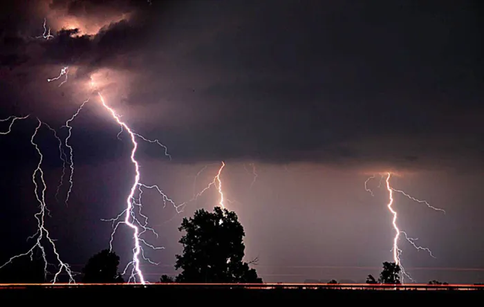
Image: AP Photo / The Gleaner, Mike Lawrence
THE South African Weather Service (SAWS) has issued a Level 4 yellow warning for severe thunderstorms expected to hit parts of the Free State and Eastern Cape on Wednesday.
The warning highlights the risk of heavy downpours, localised flooding, small hail, and excessive lightning.
According to SAWS, the most intense activity is expected in the central interior, covering Bloemfontein, Bethlehem, and Aliwal North, where heavy rainfall could lead to significant disruptions.
The Free State is under the highest alert, with the potential for severe impacts due to excessive lightning and hail.
Meanwhile, a Level 2 alert has been issued for surrounding areas, including parts of the Northern Cape, North West, and interior Eastern Cape, where localised flooding and hail are still expected.
A Level 1 warning covers parts of KwaZulu-Natal, with storms bringing damaging winds and early morning downpours.
Rainfall forecasts show widespread showers of up to 80% probability across central and eastern regions, with scattered to isolated storms spreading westwards. The Western Cape and far northern Limpopo, however, are likely to remain dry.
Wind forecasts also show strong gusts of up to 40 km/h along coastal regions, particularly the southern coastline and parts of KwaZulu-Natal, which could exacerbate already wet conditions.
The public is urged to take precautions, avoid low-lying roads, and remain alert for updates.
SAWS advises staying indoors during lightning activity and being cautious on the roads as conditions may deteriorate quickly.